

Photo Record
Images
Metadata
Catalog Number |
1992.030.001 |
Object Name |
Print, Photographic |
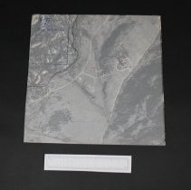
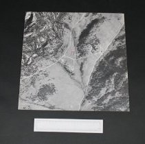
Description |
Aerial photograph #5-72,17 Devils Gulch Rd. A map of the Estes Valley area divided into square sections, numbered in red. Description of the sections depicted by these areial photographs is attached (taped) to this photograph. This photograph is 1 of 25. A note from Ralph Read explaining the set of photographs is also taped to this photograph. Plastic overlay sheet with red line taped over top of photograph. Photograph mounted on heavy card board. "5-72 17 Dev. Gulch Rd" printed in blue ink in upper left hand corner on the overlay sheet. "Zone 4 picture 7" printed on back of photograph-17-5-72 "4" also in upper left hand corner. This photograph (1 of 25) was given to Ralph Read By Giles Gene. The photos were used by Upper Thompson Sanitation District at the time of their organization. These photos are arranged by section number in east-west order as labelled in red on the attached map. Also used to plan spraying from helicopter for spruce dudworm by Estes Valley Improvement Association. |
Date |
1968 |
Collection |
Permanent |
People |
Read, Ralph Gene, Giles |
Place |
Estes Park/Devils Gulch Road |
Search Terms |
1960s Maps Aerial Photography Photography Estes Park Estes Valley Upper Thompson Sanitation District Estes Valley Improvement Association Devils Gulch Road |